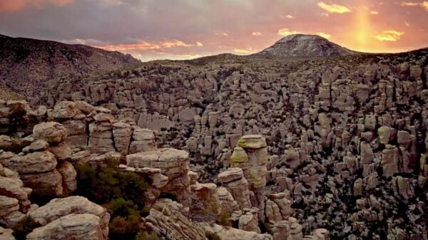
In this episode of “Trail Mix’d,” we travel to Queen Creek, South Mountain and the White Tank Mountains to hike trails with petroglyphs. Through the journey, we learn that some are easy to find and others take quite a bit of work. We also dive deep into the problem of erosion and how we can safeguard these pieces of ancient art.
Petroglyphs are rock carvings made by striking the rock with a stone chisel and a hammerstone to remove part of the rock’s surface. These carvings can be found worldwide in many different cultures.
First, we head to San Tan Mountain Regional Park, located south of Queen Creek, Arizona. Spanning over 10,000 acres, the park offers a range of activities and unique natural features. The San Tan Loop Trail is perfect for hiking, mountain biking and horseback riding and offers one-of-a-kind views. The park is about an hour’s drive from downtown Phoenix, making it a convenient getaway for locals and visitors.
Next, we travel to White Tank Mountain Regional Park. It is one of the largest regional parks in Maricopa County, located west of Phoenix, Arizona. The Waterfall Trail is a short and family-friendly hike that is one of the park’s most popular trails. It combines beautiful desert scenery with an opportunity to view ancient petroglyphs. Spanning over 30,000 acres, the park is home to desert wildlife, including mule deer, coyotes, bobcats and a variety of bird species such as cactus wrens and Harris’s hawks.
Finally, we head to South Mountain Park and Preserve, located in Phoenix. The trail passes through the Sonoran Desert terrain, with views of saguaro cacti, desert shrubs and rugged mountain slopes. The park’s environmental center often offers educational programs and guided tours.
The trail offers an ascent through the Sonoran Desert and leads to one of the best viewpoints in Phoenix, Dobbins Lookout.