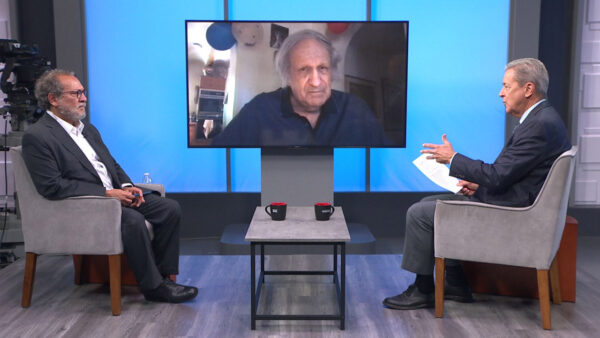
Weather forecasters say La Nina is back, promising a warm dry winter and no relief for Arizona’s drought. Learn more about it from Randy Cerveny, an ASU professor of geographical sciences who directs the university’s meteorology program.
Ted Simons: It looks like we're in for another warm, dry winter thanks to the event known as La Nina. Randy Cerveny directs the audio audio's meteorology program. Good to see you.
Randy Cerveny: Thanks.
Ted Simons: What is La Nina?
Randy Cerveny: Well, La Nina is what goes on in the Pacific Ocean. It's a cooling of the Pacific Ocean waters. There's two parts to what we call the southern oscillation, a change that takes place in what the central Pacific Ocean is doing. It can be El Nino, which is a 16 warming, or La Nina, which is a cooling. Either one of those situations causes the jet stream to change or the storm track to change. And unfortunately, the situation when we have La Nina, the cooler Pacific Ocean, that forces the jet stream to push storms toward Oregon and Washington, leaving the southwest relatively dry.
Ted Simons: How soon can La Nina be detected?
Randy Cerveny: Pretty quickly actually, we're already into it. It's going to be stronger as the fall progresses. We have been in a La Nina, we had started to come out of it, and now we're heading back indict. Economists talk about a double dip recession, we're talking about a double dip La Nina. Looks kind of similar to what we've seen in the last two years of dry winters.
Ted Simons: Is it unusual to have back-to-back La Ninas?
Randy Cerveny: Well, yeah, of strong intensity like this is kind of rare. We are desert here and that's our normal type of situation. It does look like this is going to be more of a dry winter.
Ted Simons: The last La Nina, the winter started pretty wet, wet with rains and especially snow in the High Country. Late winter, spring, somewhere along there it just stopped. Is that typical of a La Nina?
Randy Cerveny: As it got stronger, yes, that's exactly what we would expect to see. It was even worse in other parts of south, particularly Texas. Texas has been bone dry for not only this summer, we heard about the wildfires and the drought 17 they have, but it was dry this past winter. It kind of extended its influence into Arizona as the springtime progressed. And then we started to feel more and more the edges of it.
Ted Simons: Could the same pattern develop or could we not have the good stuff in winter like last year?
Randy Cerveny: Hard to tell, individual storms can dump a lot of snow. That's what we're hoping, for that it could dump a lot of snow on the White Mountains and the salt and Verde Valleys. An individual storm can do that. We don't see the overall pattern is going to be really conducive to do that. Nevertheless, we'll still get at least one or two good storms.
Ted Simons: The map doesn't look good as far as the darker areas and less than good precipitation there. This means of course wildfire concerns, reservoir concerns, the whole nine yards, doesn't it?
Randy Cerveny: Exactly. If you don't get that precipitation that, snow cover, the vegetation dries out and then the slightest spark or a careless camper and then you'll have the wildfires again.
Ted Simons: Does the La Nina mean warmer temperatures?
Randy Cerveny: Yes, it does, without the storms and clouds you have more sunshine coming down.
Ted Simons: Looks like the temperature probability doesn't make us look too bad, does it?
Randy Cerveny: They say there's no determined outlook, it's called equal chance probability.
Ted Simons: Good luck.
Randy Cerveny: It's going to be likely more of a normal temperature. 18 Texas in particular looks to be really, really hot.
Ted Simons: That means -- we've mentioned wildfires and reservoirs, that means more of these haboobs next summer.
Randy Cerveny: Exactly. If you don't get the precipitation, the ground starts to dry out and becomes dust. When the summer circulation starts, you're going get those big dust storms.
Ted Simons: Last question: Can the La Nina change to an El Nino around Christmastime? Does that happen?
Randy Cerveny: Not very -- very, very rarely. The idea is that these surface temperatures do not change very quickly. The Pacific Ocean is a mammoth region, and to change the overall character of what's going on in the Pacific Ocean takes time. The forecast is usually pretty good once we start to see the indications.
Ted Simons: If anything, it could weaken and change to an El Nino.
Randy Cerveny: That's what we are hoping for, a less intense La Nina than we are expecting.
Ted Simons: Randy, good to see you again.
Randy Cerveny: My pleasure.
Randy Cerveny:ASU Professor of Geographical Sciences