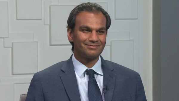
Forecasters are now predicting the strongest El Nino weather pattern in 50 years. El Nino occurs when water temperatures rise above normal across the central and eastern portions of the Pacific and can bring higher than normal winter rains to the West. Arizona State University climatologist Randy Cerveny will tell us more and also update us on the monsoon.
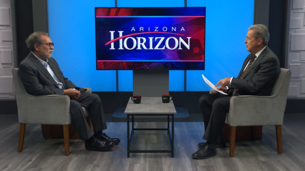
TED SIMONS: Forecasters are predicting an especially strong El Nino weather pattern for this winter. Indeed, this could be the strongest El Nino in 50 years. Climatologist Randy Cerveny is here to tell us more, and also give us a monsoon update. El Nino, let's define terms. What is El Nino?
RANDY CERVENY: It is a warming of the equatorial Pacific. We thought it was going to happen last year, it's decided it's going to happen this year, and it's doing it gangbusters.
TED SIMONS: So talk to us about that what is the pattern you're looking for, what are you seeing?
RANDY CERVENY: We're generally going to see is more of an influence in our wintertime. Even now we're starting to get moisture coming up, as we just heard with hurricane moisture from Dolores that came up that caused so much problems in California but particularly in the wintertime, that is the kind of pattern we would expect to see. A lot of moisture coming from the Pacific into Arizona.
TED SIMONS: You're seeing indications. What are those indications right now?
RANDY CERVENY: The indications right now are that the equatorial temperatures off the coast of South America are really ramping up, much faster than we had anticipated.If this continues as previous El Ninos have occurred, like back in 1998 and 1982 they led to some incredible precipitation in the southwest.
TED SIMONS: Now, we talked about an El Nino last year about this time, maybe a little bit late it's like El Nino's coming, it looks like it's gonna be a pretty good one.It was a bit of a flop, although it happened late, but wasn't quite as exciting. How come this is so exciting? Compare and contrast, please.
RANDY CERVENY: Well, what happened is last year in June we had seen some early indications in May that it was going to happen. Then last June all of a sudden the Pacific cooled off. Well, it didn't this year. It's continuing to warm up and in fact is getting even hotter so we don't see anything that's going to slow this one down. We anticipate that the pattern will stay not only through the rest of the summer but all the way into next January or February.
TED SIMONS: So could this be -- I think you actually mentioned this, but could it be the El Nino we expected last winter just kind of stored itself up and waited for this winter?
RANDY CERVENY: I think that's actually what's happened. El Nino is an energy shift. Normally what happens is we have really warm waters off the coast of Australia and they surge over to South America Well It didn't happen last year and now it is. We're suddenly getting moisture and hot water coming over into our side of the Pacific Ocean.
TED SIMONS: With this in mind, when would the rains likely start?
RANDY CERVENY: They are actually starting now. This moisture we had with the last dying hurricane that came up into primarily California is the result of El Nino. We have a lot more tropical activity in the Pacific, not so much in the Atlantic when we have El Nino. The moisture we're seeing right now is actually El Nino moisture.
TED SIMONS: It could really kick up, the winter rain kind of a scenario, November-ish perhaps?
RANDY CERVENY: Yeah, the Climate Prediction Center out of NOAA is predicting above normal precipitation for us, from this next month all the way into February.
TED SIMONS: Holy smokes. All right. And it could last into February, you're saying? Because we know they can go through spring.
RANDY CERVENY: That's right, that's right. It's a little harder out that far in advance because patterns can change. But that's the initial idea, it could go all the way to February.
TED SIMONS: On average, are El Ninos top loaded or back loaded? If you get a lot early, does it ease off later, if you don't get much early, does it hit later on?
RANDY CERVENY: The trouble is El Ninos are very individual, each one has its own character. This is setting up a lot like the big ones back in ‘82 or ‘98 so we're anticipating a lot of activity, spurts, not continuous storms now to February, but spurts of very, very heavy rainfall.
TED SIMONS: Rainfall And snowfall because of El Ninos warm system here, are we going to get snow?
RANDY CERVENY: Snow, but you're right. Most of the moisture that we're going to get is going to be tropical in nature. It'll be a lot more rain than snow, but still shouldn't be a bad snow season up in the high country. TED SIMONS: As far as the monsoon season, it's been a little bit of a dud especially for those in my neighborhood I don't know about yours We keep waiting for the monsoon, and it looked like it was going to start early and everyone was all excited, and even Dolores, the west side of the state gets hammered. Nothing along my street. What's going on with the monsoon?
RANDY CERVENY: The monsoon is a very touchy creature. It basically -- I hear the same thing on social media, the greatest monsoon of all time, in Wickenburg that's what they are saying. If you're in the southeast Valley, you're saying, where is it then? It's convective, parts of the Valley get hit really hard, other parts not so much. Particularly the eastern part of the Valley, we haven't seen that big rainfall yet.
TED SIMONS: And you're saying the El Nino could combine with the monsoon or influence the monsoon?
RANDY CERVENY: Influence.Basically the moisture that is the energy source for our storms is coming from the Gulf of California and the Pacific Ocean. If the Pacific Ocean is hot, a lot more moisture is pulled into the air. As that gets pulls into California, it has a potential for a lot more storms.
TED SIMONS: Are we talking nasty thunderstorms and lightning storms or, like we saw with Dolores here, just a lot of rain?
RANDY CERVENY: Because they are tropical in nature, it's probably going to be more the lot of rain type of situation. To get the more impressive things like tornadoes and hail and this type of thing you need to have a little more upper air things. Usually with our monsoon we don't see those. Flash flooding will be the really big thing to worry about over the next couple months.
TED SIMONS: I'll bet. And the last question here. With a strong El Nino, what does it do to temperatures? Are we going to have days when it gets down to the 20s? Or does it have more of a moderating influence?
RANDY CERVENY: It has more of a moderating influence. And it's going to be probably a touch on the humid side. When you think of the fall where you can go out and enjoy the nice crisp evenings, we might not have so many of those this year because the moisture will be more continuous than it has been in previous years.
TED SIMONS: So basically rain from now to February?
RANDY CERVENY: In spurts.
RANDY CERVENY: Alright. Randy, good to have you here, thanks for joining us.
RANDY CERVENY: My pleasure.
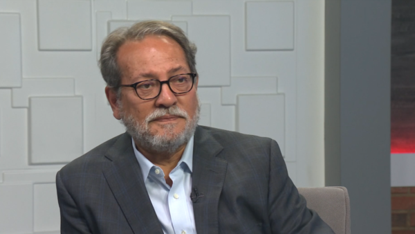
Randy Cerveny : Arizona State University Climatologist

