The Phoenix City Council unanimously approved new district maps a week ago, a vote that affects how and by whom 1.6 million residents are represented for the next decade.
The city population grew by roughly 160,000 residents between 2010 and 2020. While the city’s eight districts previously were split at about 180,000 residents apiece, federal guidelines set the new standards at about 200,000 residents each, based on the 2020 population.
Redistricting occurs every decade after the U.S. Census count and is intended to ensure fair and equal representation among all levels of elected government.
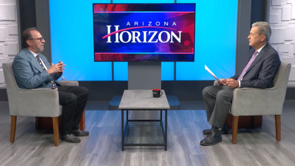
Christina Estes, senior field correspondent at KJZZ, joined Arizona Horizon to discuss the new maps.
“There were two big federal issues that they had to make sure they addressed when doing this,” Estes said. “One was basically trying to keep all the districts as close to the same population size as possible and also to make sure they were in compliance with the Voting Rights Act, which is to preserve minority voting rights. In the case of Phoenix, that means before this process began, Phoenix had four Hispanic-majority districts and four non-Hispanic majority districts. After the process, they had the four and four, so they were able to keep those the same.”
Estes said that between 2010 and 2020, the city of Phoenix gained 2,000 residents. This means that every district grew, and while they all added people, some added a lot more.
“Before this process began, there was an almost half percent deviation in population sizes. The goal is to keep it under five percent. Some districts obviously needed to lose thousands, and some needed to gain.”
The new districts will take effect in January. See the updated map here.