Strong La Niña expected to bring above-average temps to Arizona
Oct. 27, 2025
A La Niña is the cool phase of a Pacific Ocean natural, recurring climate cycle known as the El Niño-Southern Oscillation (ENSO). Much of the country is expected to see above-average temperatures from October to December. However, areas of the Southwest, including parts of Arizona, are regions most likely to experience above-average temperatures during this period. Arizona could also see less precipitation this winter.
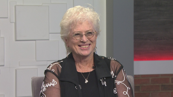
Randy Cerveny, Climatologist at Arizona State University, joined “Arizona Horizon” to discuss more about this year’s La Niña period.
According to Cerveny, cold air comes down from Siberia into to the Northern United States to create the cooler temperatures that La Niña is known for. Although climatologists
“That’s the trouble,” Cerveny said. ” We still are learning about this. Basically, this kind of a pattern right here sets up about 66% of the time … We have this other third, though we can have kind of a random dice throw.”
La Niña and El Niño weather events are predicted six months in advance. The current La Niña was predicted back in September using the dynamic modeling systems.
“There is uncertainty about it and exactly how strong the La Niña is going to be,” Cerveny said. “Depending on what computer model we run, but all the models are suggesting that, yes, the Pacific Ocean is being colder than normal.”
Cerveny explained that the recent abnormal weather events in Valley are not due to El Niño or La Niña climate cycles. These strong storms are due to other atmospheric pressures and recent hurricane activity.
“We have had weird situations where La Niña or El Niño have lasted as many as four years back in the 90s,” Cerveny said. “Mother Nature likes to throw us a weird turn every so often. “


