The Monsoon in Arizona officially starts on June 15, and it will start with recording-breaking temperatures that could reach 120 degrees. Arizona State University climatologist Randy Cerveny will tell us more.
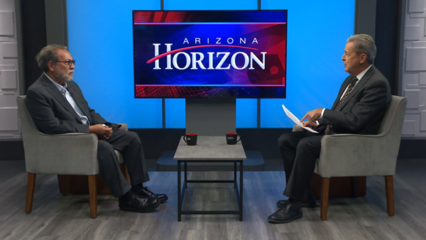
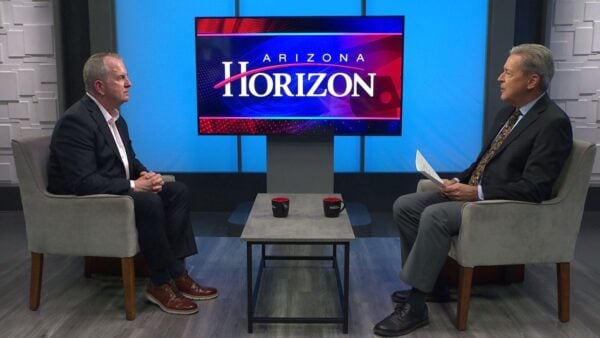
Ted Simons: It looks like we could be heading for record-high temperatures in the coming week, this as the monsoon season officially kicks off today. Here to talk about the monsoon and the heat is ASU climatologist Randy Cerveny. Good to have you back here. I am seeing, I am reading, I am hearing about 120 degrees possible for next Tuesday. Yes?
Randy Cerveny: Yes. This is normally the hottest time of the year. This next week coming up is traditionally our hottest temperatures but these temperatures are well above what we would even have during most times in the past. This is one of the hottest we will have this next week.
Ted Simons: Why so hot and why so fast?
Randy Cerveny: Because of a large area of high pressure. The way this situation works is we have what is called a ridge in the upper atmosphere. A big dome of high pressure. That air sinks down toward Arizona. We are seeing a diagram that shows you this. In essence, we can think of this as a giant mountain of air. As the air sinks over Arizona, it compresses and gets hot. You squeeze it and as you squeeze it becomes hotter and hotter.
Ted Simons: Hot air rises but it can't rise much and it is being pushed down and you have problems.
Randy Cerveny: Exactly. We need to have this in order to get the monsoon. By having the sinking hot air over the state, that starts to heat up the state and change the wind pattern and have the moisture coming up from the pacific ocean and gulf of California.
Ted Simons: Here is another look at the air mountain over Arizona we will have. That is just us all over.
Randy Cerveny: It is like a bullseye over the top of us.
Ted Simons: But you have to have this to have the monsoon.
Randy Cerveny: Right. It is kind of like we have two phases to the monsoon. Most people think of the thunderstorms and wet period. Before you have the wet period you have to have an intense time of heat so you can heat up the ground and change the wind patterns to force the moisture in. This is some of the driest weather we have had all year but as we get the heating it will pull the moisture up from the gulf of California and pacific ocean.
Ted Simons: It literally draws that moisture up here.
Randy Cerveny: Right. We have two phases or two parts to that. We have the low level part which is due to the surface heating and we have this giant ridge shift a little toward Texas and starts to pull moisture from the gulf of Mexico over Mexico and into Arizona.
Ted Simons: So the monsoon starts officially today and we will not get rain for the next few days. The rains usually start July?
Randy Cerveny: July 7th is traditionally the start. We used to classify the monsoon as to when the moisture got here. If we look at those ways of classifying the monsoon, July 7th is normally the start date.
Ted Simons: What part of the state gets the storms first?
Randy Cerveny: The first indications we have of the monsoon storms coming is you look south into Mexico and you will see clusters of thunderstorms that build up during the day and die off during the night. Those thunderstorms each day will start to progress a little closer and closer until the first part of Arizona getting it is the southern part of the state.
Ted Simons: Why does it seem like an amateur climatologist it seems like the clouds come up on the east and get over fort peaks and coming down from the north. Why?
Randy Cerveny: To get kind of technical it is gravity that plays a big role. As the moisture gets pushed up on the rim, gravity can start pulling down the storms and slide them back into the valley. So, sometimes during some parts of the monsoon or in certain times of the year, we will get our storms coming off the rim and working their way down into the valley. Other times it will come up from Tucson and Eroy and the classic storms are where you have both.
Ted Simons: The air over buckeye could be just as moist as the air over pace but because it is higher in pace it turns into a storm?
Randy Cerveny: It usually will. They will get more surface heating. Their atmosphere is a little less dense because they are higher up and it heats up faster. That is why in flagstaff in the summertime you have thunderstorms in the afternoon but in the valley, they don't get in until 6:00-7:00.
Ted Simons: As far as the state, who gets the most and least rain?
Randy Cerveny: The trouble with a monsoon is it is localized. Some years the valley gets more and some years they don't. Traditionally the rim gets more than other parts. Flagstaff, down to globe and all the way down to Tucson. Along the mountains is where you will get the most rain. The desert is driven by topography with the higher locations getting more rain.
Ted Simons: Bad luck for Yuma?
Randy Cerveny: Exactly. They get about an inch or two.
Ted Simons: Dust storms. I am fascinated by dust storms because somewhere, sometime during a dust storm there was no dust storm. Did a pile of dust pop up and all of a sudden three hours later you have it running into South Mountain? Where do they come from?
Randy Cerveny: They are the dying remnants of thunderstorms. When we had the giant ones in 2010-2011 where we had the big one coming through the city it started as a thunderstorms down by Tucson and thunderstorms generally don't last that long. They only last 30 minutes or so. As they die, they put out a gust of wind like their last breath. That gust comes down and hits the ground and starts to move forward. Well in the desert when it hits the ground it picks up the dust and that dust starts to generate and in some cases produces another thunderstorms.
Ted Simons: So say you are in Tucson you get the storm and you will not get the dust. The dust goes north.
Randy Cerveny: Right. We tend to have more dust storms than Tucson.
Ted Simons: Do we usually have dust storms before the regular storms in the monsoon season?
Randy Cerveny: Yes, the first part, because we don't have enough moisture to push the dust down by rain, so the first few storms we have in the monsoon are almost always dust storms.
Ted Simons: Why don't we see more tornados during the monsoon season?
Randy Cerveny: Because the kind of storm you need to get a good tornado with is usually the kind that is associated with what we see in the Midwest. Cold fronts and warm fronts. In particular, they need to have a jet stream. A high river of fast moving air over the top. Here in Arizona, we rarely have the jet stream over the top of us.
Ted Simons: Last question. I never ask you to predict the monsoon. I learned that a long time ago. Why is it so hard to predict the monsoon?
Randy Cerveny: It is so much locating near the surface. When we are forecasting things like winter time rains and stuff we are looking at the big storm tracker in the atmosphere and the upper atmosphere but the monsoon is very much driven by what is going on at surface and where the surface heating is taking place and how much moisture gets pumped up and that is hard to predict.
Ted Simons: Probably hard to predict the 2:00 a.m. Thunderstorms that jump everybody out of bed. Coming up next on Arizona horizon, an update on the 19-wildfires burning across the state.
Randy Cerveny: Arizona State University Climatologist
